
Walk a Princeton Street by Address
A useful Princeton street directory begins with the full address, not a person’s name. The goal is to identify the right parcel first, preserve its current identifiers, and only then compare people named in separate records. The WV Real Estate Assessment search and the WV Property Viewer form the strongest public starting pair. Neither is a complete list of everyone who lives at a house. They establish assessed ownership, physical location, map context, and the identifiers needed to reach the recorded deed.
- Normalize the house number, directional, street suffix, unit, city, and ZIP. Keep the original spelling too.
- Search Mercer County in the assessment portal. Record the parcel ID, owner line, legal description, district, and assessment date.
- Open the same place in Property Viewer. Confirm the physical and E-911 address, boundary, and any stacked parcels.
- Ask the Mercer County Clerk for the matching deed by grantor, grantee, book and page, or legal description.
- Use lawful voter-list access or a held Princeton directory year only as dated occupancy evidence, not proof of every household member.
This sequence keeps title and occupancy separate. A current owner may not occupy the parcel, and an occupant found in an old volume may never have held title. For a search focused on one person rather than the whole road, use the Princeton resident lookup after the address has been confirmed.
Search Princeton Assessment Fields
The state assessment portal can browse by street even when the exact house number is uncertain. Its Basic, Appraisal/Sales, Advanced, and Prior Ownership tabs expose several ways to narrow Princeton records. Live options and required fields were not fully shown during research, so use the labels displayed by the current form. Appraisal and prior-owner results may also have limits that are not stated on the landing screen.
| Field | Best use | What to preserve |
|---|---|---|
| County and District | Limit the street to Mercer geography | Selected jurisdiction |
| Street Name | Browse parcels along one road | Exact spelling and suffix |
| Full Parcel ID | Return to one tax parcel | Complete identifier |
| Owner Name | Compare assessed ownership | Name form and source date |
| Map, Parcel, Sub-Parcel | Separate stacked or split interests | Each component |
| Land Use and Property Class | Filter mixed street results | Displayed category |
| Legal description and GIS ID | Bridge map results to deeds | Both displayed values |
View the assessment search source before comparing records.
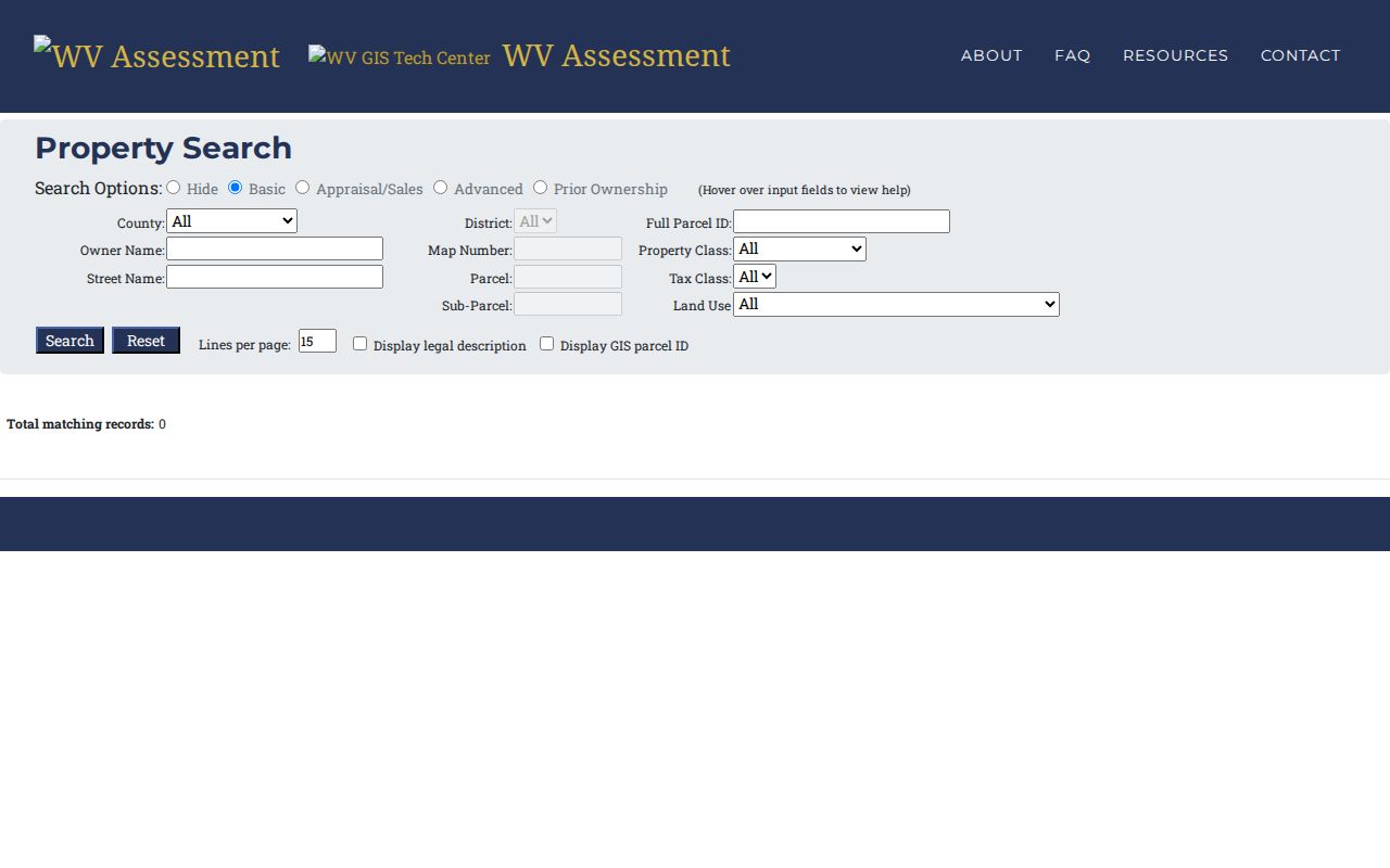
The captured interface supports a by-street search while leaving deed proof to the Mercer County Clerk.
Map Princeton Streets and Parcels
Property Viewer covers all 55 West Virginia counties and adds map evidence to the street directory. Turn on Parcel, Address, and Flood Zone layers, then zoom to about 1:18,056 before reading lot lines. A parcel detail may include description, assessed owner, physical address, building information, appraised values, delinquent status, community, E-911 address, and flood information. When several parcels sit at the same point, arrows in the popup move through the stacked results. Record every parcel ID before deciding which one matches the address.
The mobile viewer accepts an address or county, district, map, parcel, and suffix. It also permits partial owner-name searching in LASTNAME FIRSTNAME form, with results capped at 500. Rural routes and post-office boxes are excluded from mobile address search. Those limits matter on the edge of Princeton, where a mailing address may not describe the parcel’s physical position.
See these controls at the WV Property Viewer source.
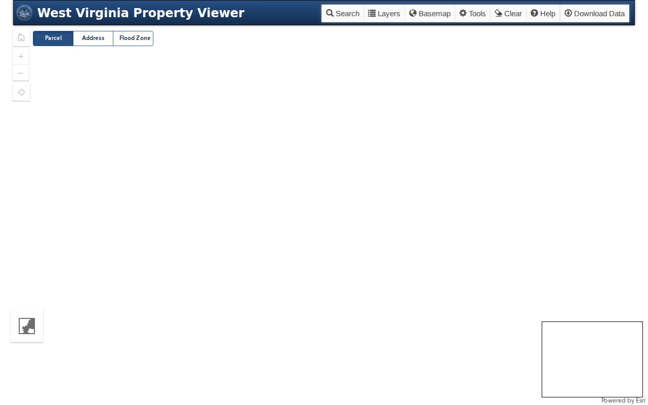
The map layers and parcel popups belong beside, not in place of, the assessment record.
Note: Parcel adjacency shows shared geography only; it does not establish a family, social, or legal relationship between named people.
Compare Princeton Street Record Sets
No single Princeton street directory proves both ownership and residence. The source date and purpose control what each entry means. Current parcel records are strong for assessed ownership and map identity. Recorded instruments establish transfers. Voter material and city directories may support occupancy at a stated time, but each has access rules and coverage gaps.
| Record Set | Keeper | What It Shows | Access |
|---|---|---|---|
| Assessment roll | Mercer County Assessor | Assessed owner, parcel, values, physical and mailing context | State portal, local office |
| GIS parcel map | WV Property Tax Division | Boundaries, address points, parcel details, flood layer | Free web viewer |
| Deeds and indexes | Mercer County Clerk | Recorded parties, instrument, date, legal description | Record room; Archives microfilm |
| Voter material | County Clerk and Secretary of State | Defined public fields and dated registration context | Status tool or restricted list request |
| City records | Princeton City Clerk | Existing ordinances, public works, or address files | Narrow FOIA request |
The parcel ID and legal description provide the safest bridge between the first three sources. A street name alone can retrieve condos, sub-parcels, nearby mailing addresses, or properties outside the city line. Keep separate columns for assessed owner, recorded title party, and dated occupant. That split prevents the most common street-directory mistake.
Separate Princeton Address Types
Several address forms can appear for one Princeton parcel. The physical or situs address names the land’s location. The owner mailing address is where tax mail goes and may be elsewhere. E-911 addressing supports emergency response, while USPS standardizes delivery. A legal description identifies the tract through recorded land language and may remain useful after a street label changes.
- Parcel
- A mapped tax unit identified by county, district, map, parcel, and sometimes a suffix.
- Situs address
- The physical property location, distinct from the owner’s mailing address.
- Plat
- A recorded drawing of lots, boundaries, streets, and surveyed features.
- Criss-cross directory
- A directory arranged by street address instead of only by surname.
Preserve the unit marker, directional, suffix, ZIP, and historical abbreviation exactly as printed. USPS says its lookup does not confirm a person or company at an address, so its result should standardize the search, not settle identity or title.
Time the Princeton Assessment Record
The Mercer County Assessor explains a key timing issue. West Virginia’s assessment date is July 1, and 2026 tax tickets use information from July 1, 2025. The office says a later update is expected around July 15, 2027. A recent sale, map change, or new mailing address may therefore appear in one source before it reaches the tax ticket.
Contact the Assessor at 1501 W. Main Street, Suite 110, Princeton, or 304-487-8397 when the portal and current conditions conflict. Hours are listed as Monday through Friday, 8:30 a.m. to 4:30 p.m. Ask which assessment date controls the record and whether the parcel card has a newer entry.
Carry Princeton Parcels into Deeds
An assessor line is not a recorded conveyance. No official public Mercer deed-image interface was located, so the documented path runs through the Mercer County Clerk Record Room. Give staff the parties if known, plus the parcel ID, district, legal description, date range, and any book-and-page reference. Ask about copy access and series coverage instead of assuming the web has every instrument.
The record room is at 1501 W. Main Street, Suite 121, Princeton, WV 24740, and 304-487-8313 is listed on the county contact sheet. Historical researchers can use State Archives microfilm for Mercer deeds from 1837 through 1904 and deed indexes from 1837 through 1968. An index points toward an instrument; it is not the full image.
Orient Old Princeton Street Records
The Princeton Railroad Museum history says Christian Walker surveyed the original town into 40 lots, and Walker Street bears his name. It identifies Mercer Street as a historic area and places Town Spring at Honaker and North Walker. These landmarks can help align an older deed, map, and directory reference.
The account says streets were paved and sewer service installed in 1912, but no official citywide renumbering table was found. Never apply an assumed number formula. Compare block geometry in the January 1915 Sanborn set, then test the tract against current GIS and its legal description.
Request Missing Princeton Street Records
A failed portal query may reflect spelling, E-911 formatting, an old label, or a tract indexed without a useful modern address. Ask the Assessor which address form its system uses. Ask the Clerk for a tract search. When a formal name or number change is suspected, request existing ordinances or public-works records from the City Clerk.
The Princeton FOIA web form includes requester contact, subject, address, and free-text request fields. Narrow it to one street, record type, and date range. West Virginia FOIA provides existing public records; it does not require a new street directory. No public Princeton permit-by-parcel index was located.
Note: Save the query, date, spelling, and office response so a portal failure can be distinguished from a true record gap.
Use Princeton Voter Data Carefully
The public West Virginia voter status lookup requires first name, last name, and date of birth. It can return status, party, district, and polling place, but it cannot browse everyone on a street. County entries update nightly, and same-day activity or an emergency polling change may not yet appear.
Public voter lists use a different request path. Defined fields include name, residence address, party affiliation, status, registration date, precinct, and district geography. Their rules bar commercial use and resale, and protected data is excluded. Mercer voter registration can be reached at 304-487-8338 or 304-487-8339. Treat a match as dated registration context, not a household roll.
Set Limits on Princeton Street Lookup
A Princeton street directory cannot identify every person inside a home. Parcel files focus on land and assessment. Deeds record parties to instruments. A voter file covers registrants under specific access rules, while historical directories cover only listed people and held years. Even GIS adjacency proves only that parcels share geography.
Use the least personal detail needed for family history, property research, scam avoidance, or civic review. Check the record’s date and custodian. West Virginia’s Address Confidentiality Program can replace a participant’s address in appropriate records, and sealed or exempt information remains unavailable.
Lawful use. Use Princeton address records only for lawful personal research. Never use a street search to track, intimidate, harass, or harm a person.