
Princeton Neighbors by Source
Official sources describe land, ownership, registration, and past occupancy in different ways. The WV Property Viewer is the strongest first step for the immediate block because its map displays parcel boundaries and lets a reader click nearby lots. The assessment search adds owner, parcel, legal-description, and street fields. A public voter list can contain a registrant's name, residence address, party, and status, but list access and use are controlled by West Virginia election rules. Historical directories and Sanborn maps belong to a past year, not the present.
| Source | What It Shows About a Block | Access |
|---|---|---|
| WV Property Viewer | Parcel edges, physical address, owner context, E-911 and flood information | Free statewide map |
| WV Assessment Search | Owner, district, parcel, street, land use, and legal description | Free portal; assessor office fallback |
| Public voter lists | Permitted registration fields organized by municipal or precinct geography | Request with use certification and applicable charge |
| Princeton city records | Existing ward, ordinance, permit, or public-works records for a narrow block question | Department contact or city FOIA request |
| Directories and Sanborn maps | Past household entries and historic block or building context | Archives, library, or online map image |
An assessment owner may be a person, trust, estate, or company. The listed mailing address can differ from the parcel's physical address. Neither fact proves present occupancy. For Princeton neighbors, write down exactly what the source labels the field and the date behind it. A parcel association is evidence about property, not a social or family relationship.
View Princeton Neighbor Parcels
The WV Property Viewer covers all 55 counties and includes Search, Layers, Basemap, Tools, Clear, and Help controls. Turn on Parcel and Address to orient the block. Flood Zone adds physical context but says nothing about a resident. The viewer may show a parcel ID, description, owner, physical address, building information, appraised values, delinquent status, community, E-911 address, and flood information. Its assessment-report link provides another way to check the selected lot.
Zoom to about 1:18,056 before reading boundaries. Several parcels can occupy the same visible point, so use the arrows in the parcel popup and record each ID. On mobile, search by street address or by county, district, map, parcel, and suffix. Owner-name searching permits partial text in last-name-first-name order, but results are capped at 500. Rural routes and post-office boxes are not valid address searches in the mobile interface.
The official viewer image below shows the map surface used to examine adjacent parcels around a Princeton address.
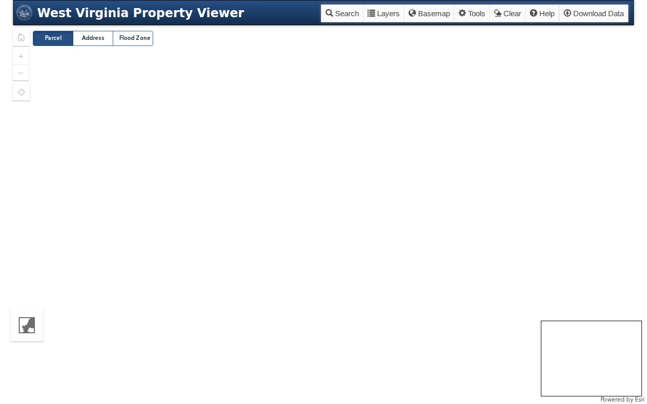
Parcel outlines provide a sound block frame. They do not identify every occupant or establish a link between the people named on nearby lots.
Map a Princeton Neighbor Block
Begin with one confirmed physical address and move only to parcels that share the immediate block. Capture identifiers before names. A parcel ID and legal description help prevent mistakes when several lots share a mailing address, a condominium has sub-parcels, or the popup stacks records at one point. The Mercer Assessor's July 1 assessment date also matters because a recent transfer may not yet match the tax ticket.
- Find the address in the WV Property Viewer and confirm the physical or E-911 address, not just a postal label.
- Zoom until parcel lines appear. Click the parcels that share a border or clearly sit beside the starting lot.
- Record each parcel ID, legal description, owner label, physical address, and mailing-address distinction.
- Cross-check the parcel in the state assessment search and note the assessment date or any mismatch.
- Ask the assessor or clerk when stacked parcels, recent deeds, or changed addresses keep the block from lining up.
This method stays focused on adjacent Princeton neighbors. A full named-road chain belongs in the Princeton street directory, where assessment, deeds, and historic address tools can be followed beyond the immediate block.
Read Princeton Block Layers
Address points and parcel lines can disagree. One describes a mapped location; the other defines a tax parcel. E-911 addresses support emergency response, while a USPS address supports mail delivery. The owner mailing address may lead elsewhere. Keep these fields in separate columns and do not substitute one for another. ZIP labels can also cross municipal limits, so a Princeton postal name does not prove that a parcel lies inside the city boundary.
- Parcel
- A mapped unit of land identified for assessment and record purposes.
- Physical address
- The street location associated with the land or building.
- E-911 address
- An address maintained for emergency location and response.
- Legal description
- The tract, lot, boundary, or recorded wording used to identify land.
- Assessment date
- The date on which property facts and value are fixed for a tax cycle.
The Flood Zone layer can explain why two nearby parcels have different building patterns or access. It is map context only. Do not infer a person's choices, finances, or relationships from a layer or valuation.
Princeton Neighbors and Voter Rolls
West Virginia's individual voter-status lookup requires first name, last name, and date of birth. It is not a block browser. The result can show registration status, party, districts, and polling place, with nightly county updates and an overnight maintenance window. A person must already know the identifying fields needed for that private query.
Public inspection lists are a separate channel. State election guidance says those lists include at least the voter name, residence address, party affiliation, and status. Social Security and driver or state ID numbers are excluded. The list-request form permits municipal, precinct, county, and district geography, along with status, party, and other filters. Printed county lists may be available from the Mercer County Clerk, and larger state products carry stated charges and a use certification.
Purchased or inspected voter data cannot be used for solicitation, advertising, resale, or other barred purposes. A registration record is time-bound and may use a substitute address for an Address Confidentiality Program participant. It does not prove that all members of a nearby household are named or that a registrant was present on a particular day.
Princeton Community Contact Routes
No official umbrella neighborhood-association directory, public HOA roster, or block-watch directory was located for Princeton. That gap should remain clear. The City of Princeton departments page is the best municipal routing point for a ward, boundary, inspection, code, or public-works question, while the Princeton Public Library, Railroad Museum, and regional archives serve historical questions. None should be described as a current household directory.
City of Princeton
Departments and public contacts
Use for the office that keeps an existing city block record.
Mercer County Assessor
Assessment office
1501 W. Main Street, Suite 110
304-487-8397
Mercer County Clerk
Record room and county records
1501 W. Main Street, Suite 121
304-487-8313
Ask a community group directly whether it keeps a voluntary member directory and who may see it. Never imply that a private roster is open merely because a group is local.
Historic Princeton Neighbor Blocks
The January 1915 Princeton Sanborn set contains 14 sheets that can help align old block geometry, building footprints, and uses with a modern parcel map. It can explain how a block looked in that year, but it does not identify current Princeton neighbors. Compare streets and shapes rather than trusting a modern number, because no official citywide renumbering table was found.
Princeton's historic setting adds useful place cues. Christian Walker surveyed the original 40 town lots, and Walker Street bears his name. Local history also identifies Mercer Street and the Town Spring corner at Honaker and North Walker. Streets were paved and sewer service installed in 1912. These facts can orient an old address, yet every claim about a past household still needs a dated directory, deed, census, probate record, or newspaper source.
A historic neighbor is a person listed near an address in a particular year, not a current resident. Preserve the directory year, page, and spelling, then compare the old block with the current parcel only as a documented inference.
Compare Princeton Neighbor Tools
Official rolls are narrower than commercial neighbor tools, but their custodian, date, and field meanings can be checked. Commercial profiles may merge people, preserve stale addresses, or expose details without a clear source. They are poor evidence for a block question and are not linked here.
| Source type | Strongest use | Main limit |
|---|---|---|
| Parcel and assessment systems | Boundaries, owner association, physical address, legal description | Owner is not necessarily an occupant; the cycle can lag |
| Voter records | Lawfully available registration and district context | Restricted uses, update timing, and protected addresses |
| Historical records | Past households, buildings, and block context for a stated year | Cannot prove current presence |
| Commercial profiles | Possible lead requiring official confirmation | Unknown sourcing, merged names, stale or sensitive data |
Choose the smallest official source that answers the question. Record the date and stop once the lawful purpose is met.
Request a Princeton Block Record
When a city map or portal does not answer a block question, use the Princeton FOIA form for an existing city record. Provide a street or block, record type, department, and a short date range. Ask for an ordinance, map, permit log, public-works record, minutes packet, or other existing item. The Freedom of Information Act does not require the city to build a new dossier or disclose exempt information.
Property assessment issues belong with the assessor. A legal-description or deed question belongs with the Mercer County Clerk record room. For older deeds, the State Archives lists Mercer deed indexes from 1837 through 1968, but no current official online Mercer grantor-grantee search was found. Request an index or identified instrument and ask about inspection, mail, phone, or copy procedures.
The city departments page is shown below because no official neighborhood roster exists.
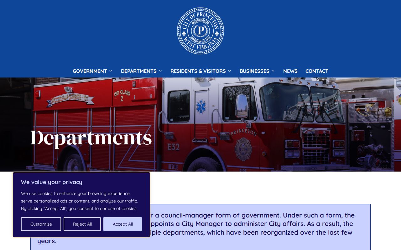
Its role is routing. A department contact can identify the custodian without turning a public-record request into a search for private household facts.
Protect Your Princeton Neighbors
A neighbor lookup cannot reveal a complete household. Utility, delivery, private membership, and protected contact data are not general public directories. Courts, vital records, voters, and other systems each have distinct limits. The West Virginia Address Confidentiality Program gives qualifying survivors a substitute address for mail and government interactions. Do not attempt to trace that substitute back to a protected home.
Publish only the minimum needed fact, such as a parcel ID, public office, historical year, or city-level result. If an official record is wrong, send the correction to its custodian. A public address is never permission to visit, follow, monitor, contact, photograph, threaten, or expose a person.
Lawful use. Research Princeton neighbors only for a lawful personal purpose. Never use these records to stalk, monitor, threaten, harass, or intimidate anyone.